© Copyright 1995 Malin Space Science Systems, Inc.
 The "Face on Mars"
Introduction
In July, 1976, Viking Orbiter 1 was acquiring images of the Cydonia
region of Mars as part of the search for potential landing sites for
Viking Lander 2. On 25 July, 1976, it photographed a region of buttes
and mesas along the escarpment that separates heavily cratered
highlands to the south from low lying, relatively crater-free, lowland
plains to the north. Among the hills was one that, to the Viking
investigators scrutinizing the images for likely landing sites,
resembled a face. Owing to the importance of the landing site search,
and with a desire to provide the public with at least one
familiar-looking landform amid the craters and exotic terrains found
all over Mars, an image including the face-like hill
was released as part of the Jet Propulsion Laboratory's public
relations effort. The text of that release
notes the face-like hill.
Subsequent to this release, some people have argued, mostly in the lay
literature, that the face-like hill is artificially shaped.
Although their argument has been expanded to a host of nearby
features, none commands public interest like the "Face." This page
will provide interested persons with both the raw Viking images,
transformed to GIF format, and a brief tutorial (with examples) of
image processing techniques applied to create "better looking"
images.
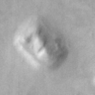
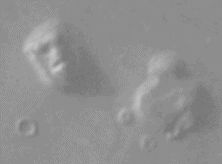
The Raw Images
Table 1, below, lists all Viking Orbiter images of the "face," in
order of decreasing resolution. Following the table are the images
acquired at resolutions better than 400 meters/pixel. The icons show
the "face" as seen in the raw data, but contrast enhanced for
visibility. The actual images have not been processed other than
conversion to GIF format. As a reminder, each raw Viking Orbiter
image is 1204 samples wide by 1056 lines high.
Table 1: List of Viking Orbiter Images of the "Face on Mars"
	 PICNO	 Res.	  PICNO	  Res.

	*070A13	  43 m	  753A06  588 m
	*035A72   47 m	  753A03  596 m
	*561A25  163 m	  717A04  723 m
	*673B56  226 m	  771A94  735 m
	 673B54  226 m	  257S41  780 m
	*753A34  233 m	  220S38  808 m
	 753A33  233 m	  257S69  821 m
	 753A05  578 m	  220S37  863 m
	 859A05  582 m	  590A24  889 m

*images included in this Web page
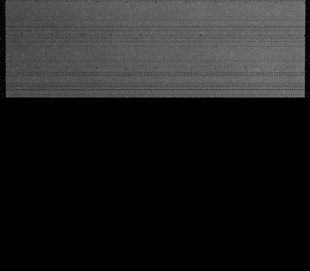
 035a72.raw.gif (575 KBytes)
 070a13.raw.gif (491 KBytes)
 561a25.raw.gif (451 KBytes)
 753a34.raw.gif (602 KBytes)
 673b56.raw.gif (447 KBytes)
Label Information (Ancillary Data)
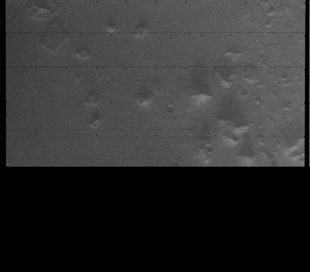
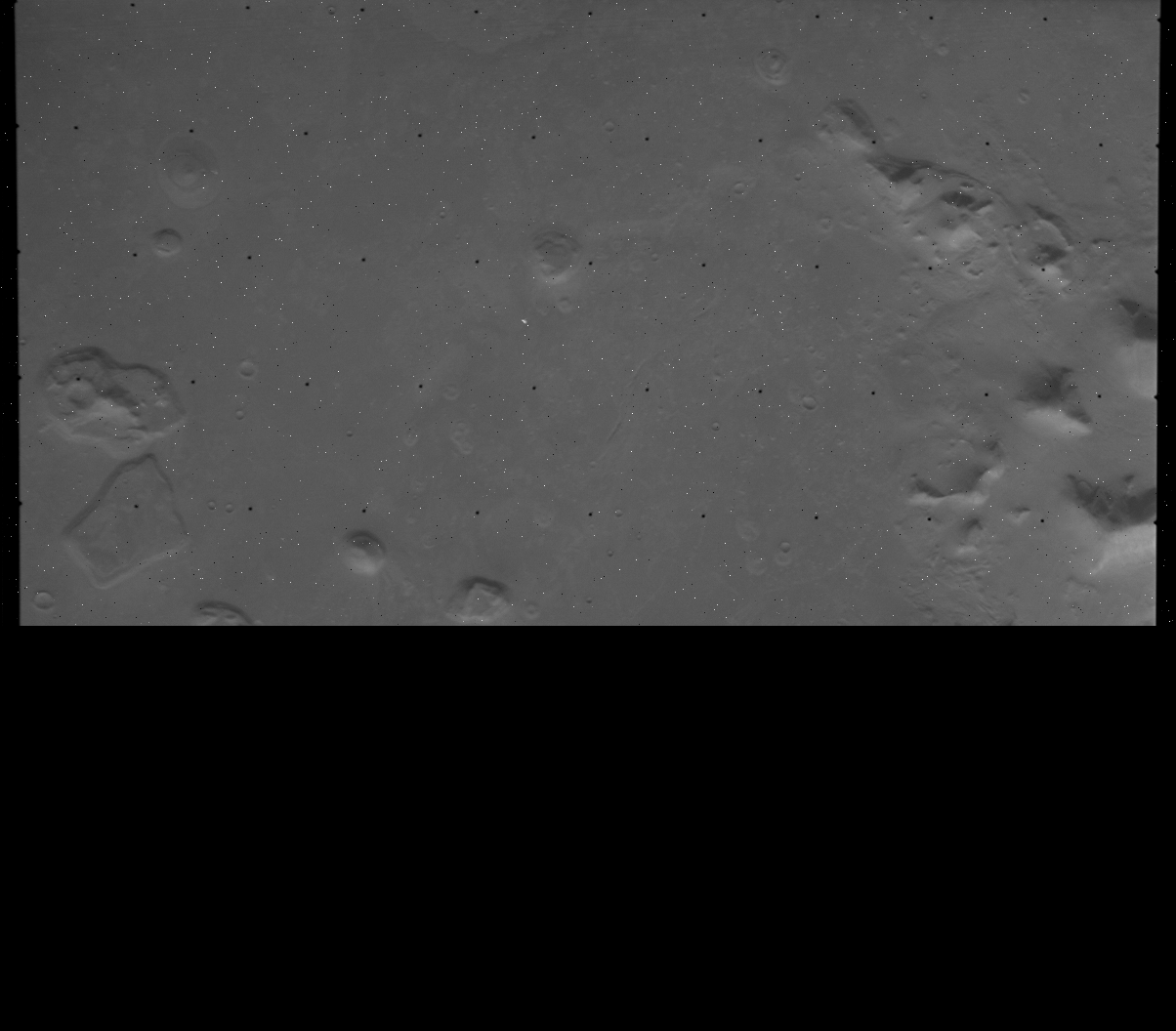
Processing of "Face" Images
The following images were subjected to image processing techniques to
improve the visibility of features in the images. A step by step description of image processing
techniques as applied to these images is also on-line. The
processing applied includes bit-error correction, reseau removal, very
slight brightness alteration, and projection to a standard map view
(mercator projection) with north at the top. Contrast/Brightness
enhancements and image sharpening were not performed as these would
create images that would differ depending on the nature of the monitor
on which they were being viewed. Examples of this type of processing
are given elsewhere. Map projection
resamples the raw image format, and these images are larger than the
raw data. The following table lists the dimensions of these
images:
Table 2: Dimensions of Mercator Projected Images of "The Face on
Mars"
	PICNO	       #lines	      #samples

	035A72		2135		1973
	070A13		1899		1669
	561A25		1552		1729
	673B56		1757		1611
	753A34		2129		1980
Map Projected Images
 035a72.map.gif (GIF = 1.44 MBytes)
 070a13.map.gif (GIF = 1.45 MBytes)
Topography
Derivation of a model of the relief of an object from the way it
reflects light seems reasonably straightforward: slopes facing a light
source appear brighter than those facing away. However, in practice
this is a difficult problem to solve, and the results are often
non-unique. Based on the computer vision literature, MSSS scientists
have developed a "shape-from-shading" technique that can be applied to
planetary images. The following images are the vertically viewed
height field (exaggerated to fill an 8-bit, 255-level range) and a
stereoscopic view of the original image draped over the height field
in both stereopair and anaglyph form.
Changes of Appearance with Illumination Direction
Using the height field, it is possible to view, at the admittedly
lower spatial resolution of that field, what the "Face" looks like under
different illumination conditions, in particular from illumination at
different hour angles. Since the "Face" is above the martian "Tropic
of Capricorn" (+25 deg), illumination in reality will always be from
a southernly direction, but in these simulations, illumination can
come from other directions as well.
Changes of Appearance with Viewing Direction
Using the height field, it is also possible to view the "Face" from
different look directions, by mapping the Viking Orbiter image
directly on the the topography and then placing the "viewer" at
different locations.
Discussion of the "Face on Mars:" Mars Global Surveyor Plans
A brief discussion of the controversy
surrounding the "Face" and the planned MOC observations.
 Return To Space Menu.
 035a72.raw.gif (575 KBytes)
 070a13.raw.gif (491 KBytes)
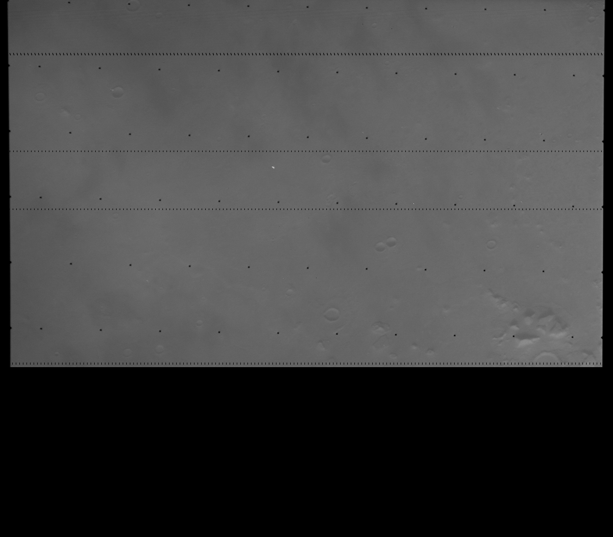 561a25.raw.gif (451 KBytes)
 753a34.raw.gif (602 KBytes)
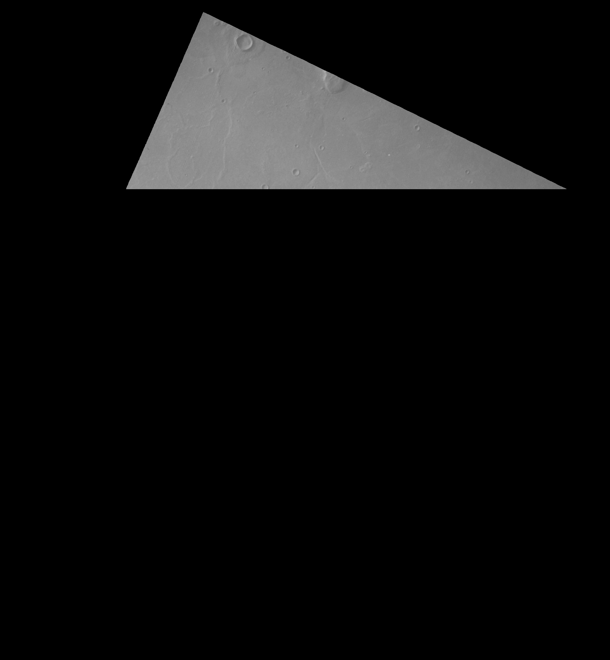 035a72.map.gif (GIF = 1.44 MBytes)
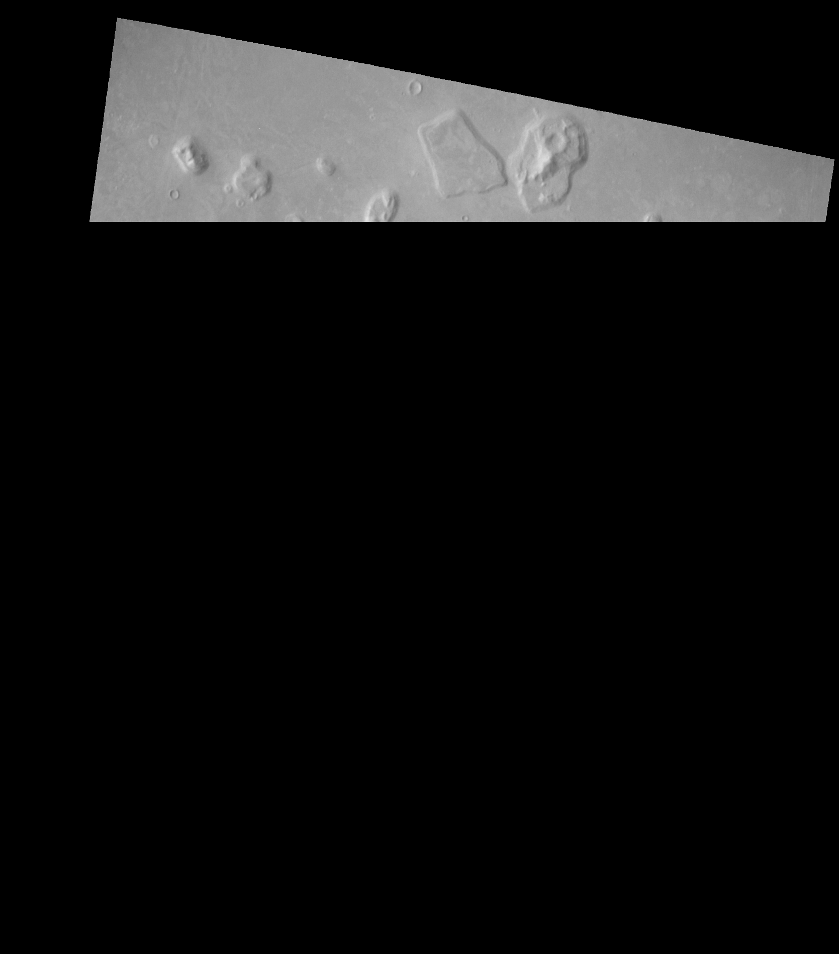 070a13.map.gif (GIF = 1.45 MBytes)
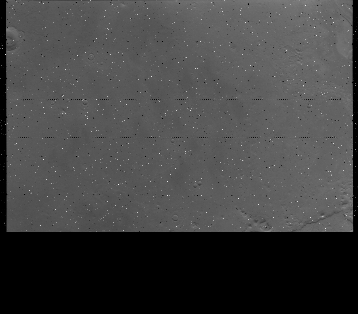 673b56.raw.gif (447 KBytes)